Note: First public comment meetings for the Lewisboro Comprehensive Master Plan Steering Committee is January 21st at John Jay High School.
Please read the note below from our Lewisboro Lakes Coalition representative Susan Enos, a 70+ year resident of Truesdale Lake:
——
Happy New Year!
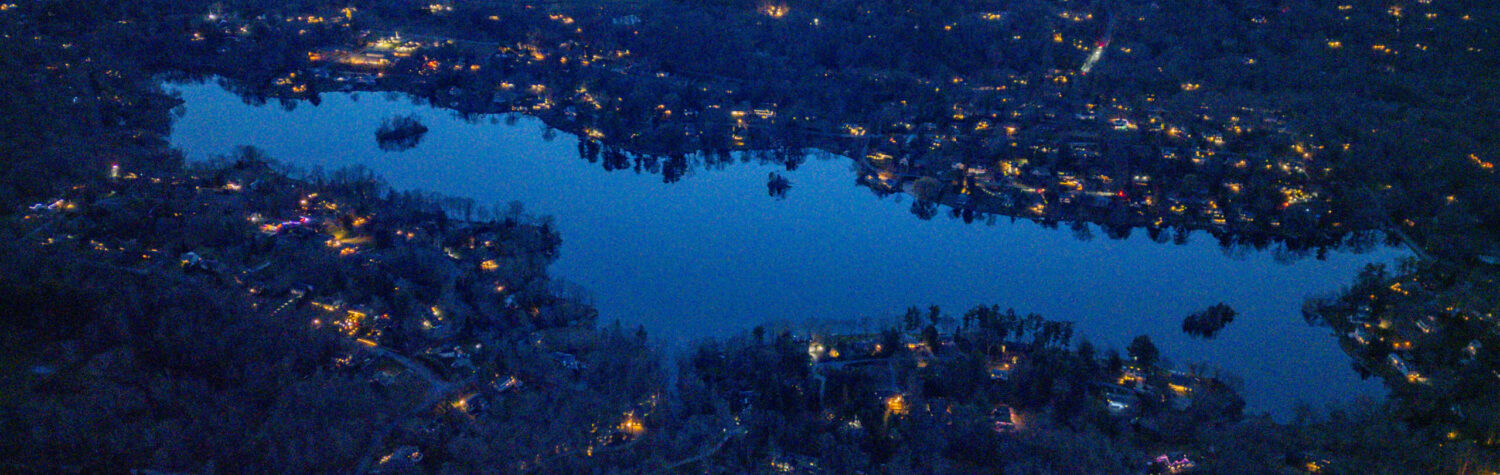
The process of developing a new Comprehensive Plan for Lewisboro is now underway! In the 1985 Lewisboro Master Plan, the 7 lakes in Lewisboro only received a brief mention.
(after 1920…) “Improved transportation and the beauty of Lewisboro, in particular the lakes area, made the Town an attractive site for summer homes for the urban population of New York City. Residences were constructed around the natural lakes while new lakes were made. Over time, the concentration of population in small areas lacking central water or sanitary sewer systems began to alter the balance that had been long maintained between the land’s ability to sustain development and the level of development.”
Although this paragraph predicts some of the current challenges the lakes are facing, in 1985, no plans were put forth to remediate water and septic issues. Septic pollution in our lakes today threatens both the health of the lakes and health of the aquifer.
It’s essential that those of us who are concerned with maintaining the quality of our lakes become involved in the process of developing the new Comprehensive Plan.
The Comprehensive Plan process in Lewisboro will be developed almost entirely from the input of individual residents. Because many lake residents are not aware of all the challenges our aging lakes are facing, you will want to remind friends and neighbors that their input at these public workshops is essential to ensure that preservation of our lakes is included in the new Comprehensive Plan. Your individual input in this process is even more essential.
These are the revised announcements of upcoming “in person” and “virtual” Lewisboro Comprehensive Plan Public Workshops. Please send these announcements to all your friends and neighbors who live on or around Lewisboro’s 7 lakes and encourage them to attend. Put these dates on your own calendar! (If you would also volunteer to put up posters in your neighborhood let me know. Posters are available at the Town offices on Bouton Street.)
Important facts:
Residents who live on or around the 7 lakes in Lewisboro, or belong to lake associations, makeup nearly 1/3 of Lewisboro’s population.
Most of the lakes in Lewisboro were developed as summer communities in the 1920’s and 30’s. Although lake associations have continued to spend time and resources to maintain the quality of our aging lakes, we now face challenges that are beyond the capability and resources of associations to solve without partnership of the Town.
These are some of the priorities the Lewisboro Lakes Coalition has identified to remediate and maintain healthy lakes:
1. Control pollution sources to our lakes from septic waste, fertilizer, stormwater runoff and tributary inflow
2. Reduce pollutants already in our lakes which have caused [some of] them to be labeled “Impaired waterway” by NYState
3. Educate all Town residents about septic system maintenance and pump out laws
4. Develop Best Management Practices for Town maintenance along roads adjacent to lakes and wetlands
5. Encourage the Town to pump out storm drains on a regular basis
6. Decrease Town use of salt and salt pollution to lakes and waterways by improved salt dispensing technology
7. Partner with the Town to detect and remove invasive species beside roadways, in lakes and wetlands
8. Partner with the Town to dredge sediment in some lakes to maintain water quality.
Please add to or edit any of these points as you see fit and send me your thoughts. I’m sure I have missed things.
Don’t forget to attend the public workshops yourself. Future Town planning and allocation of resources will guided by this Comprehensive Plan. You as lake residents are most aware of the challenges facing our lakes. We don’t want to miss the opportunity of being included in a Town plan that may determine the future of our lakes.
Sue Enos, Lewisboro Lakes Coalition (914-217-5948, sueetlou1@gmail.com)
Flyer: https://drive.google.com/file/d/1xl54nYJe7R5o4FOluBOiL3o0tUu5Uiy_/view?usp=drivesdk

First workshop Jan 21st ^^


