Truesdale Lake  

South Salem, New York

Lake Subdivision Scans

<< Back to main Associations page

<< Back to main TEA page

<< Back to TEA Property Listing

See below for scans of original TEA Subdivisions and other historic scans of Truesdale Lake area survey map images. (aka “Why are there so many associations and how did they form.”)

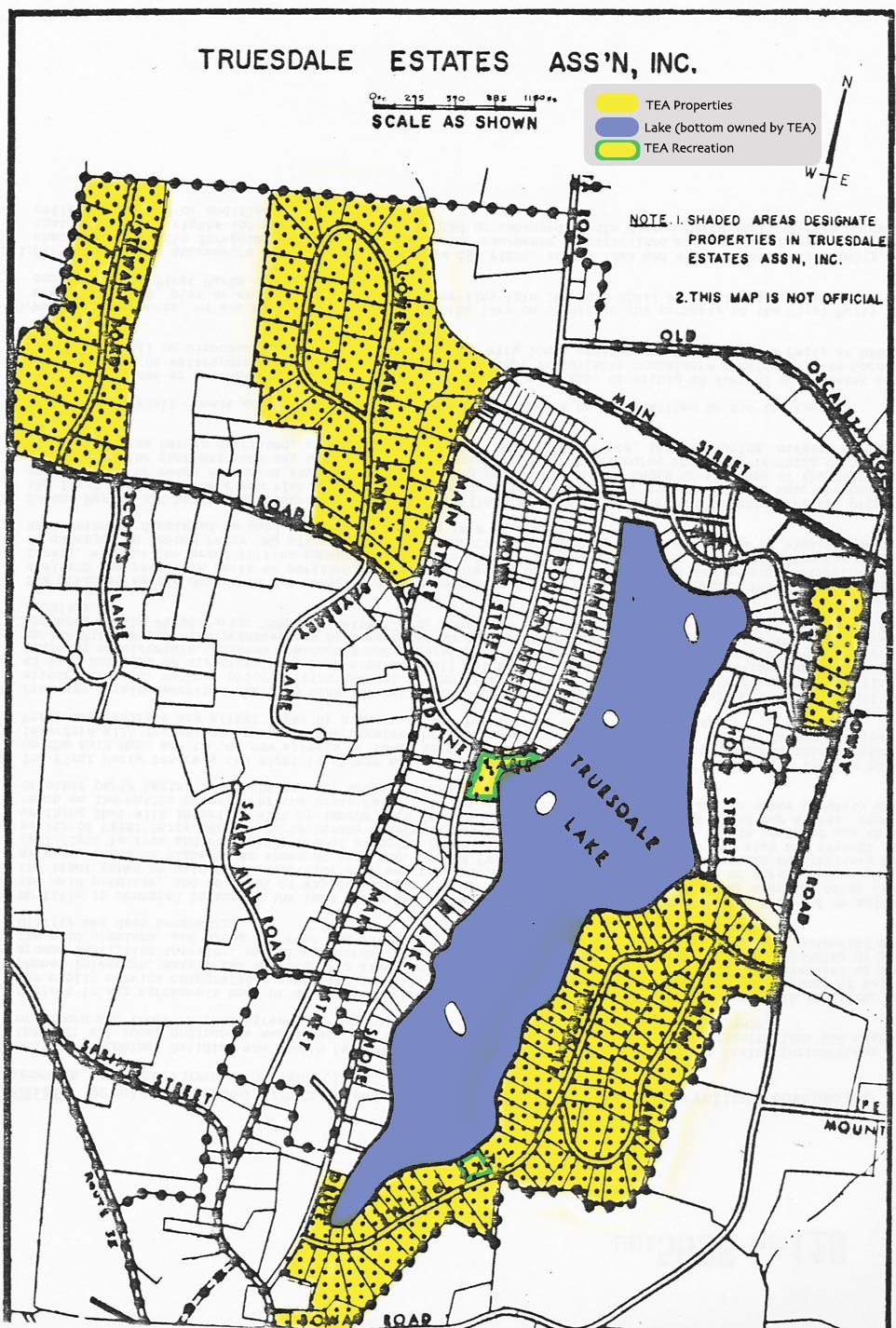
TEA Full Map is near bottom of this page.

Maps starting with the original 1926 survey/subdivision map which are not specific to TEA are listed at the bottom of this page as PDF downloads.
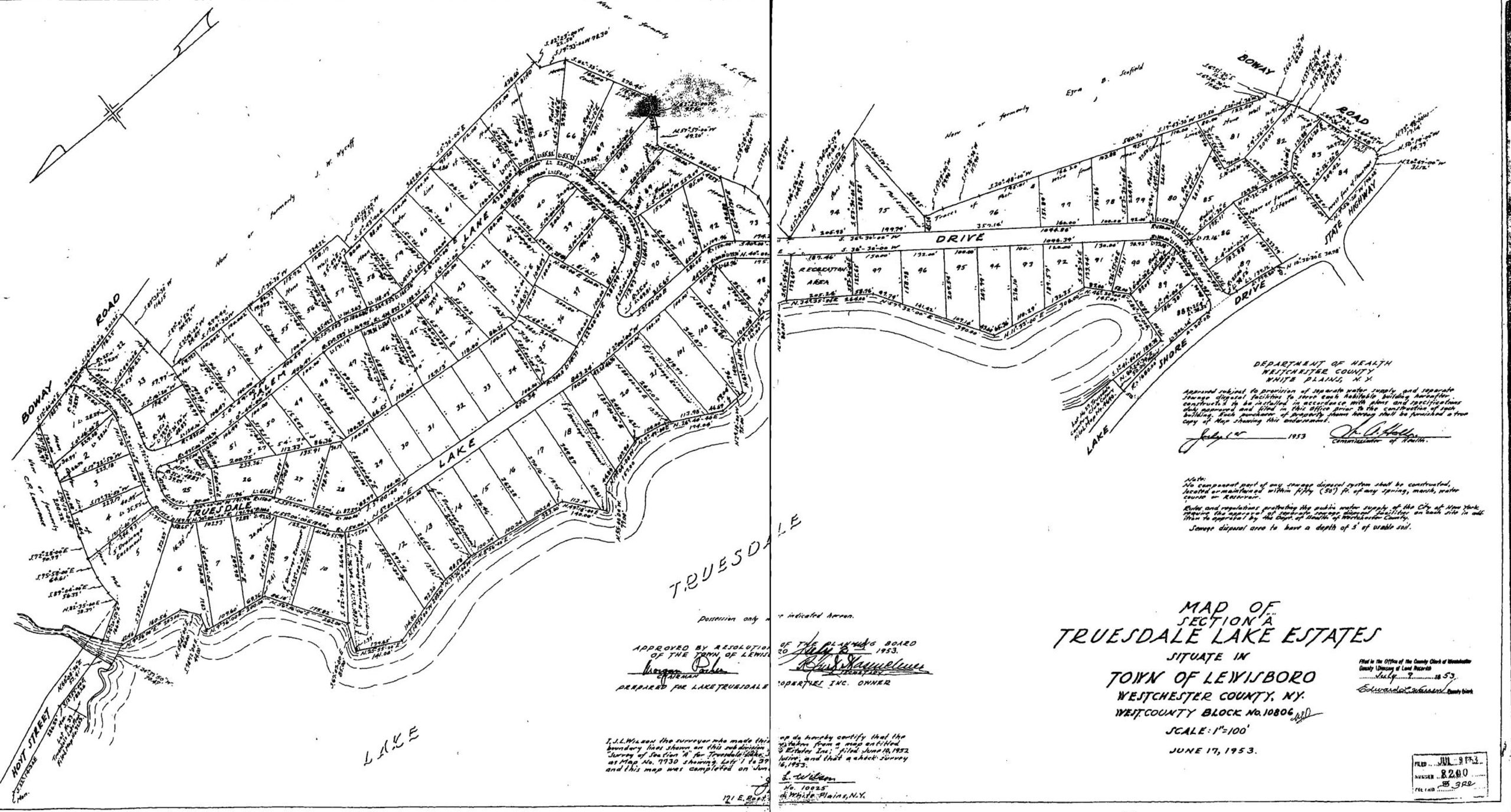
Truesdale Lake Drive + Salem Lane, TEA Sections A & B Combined
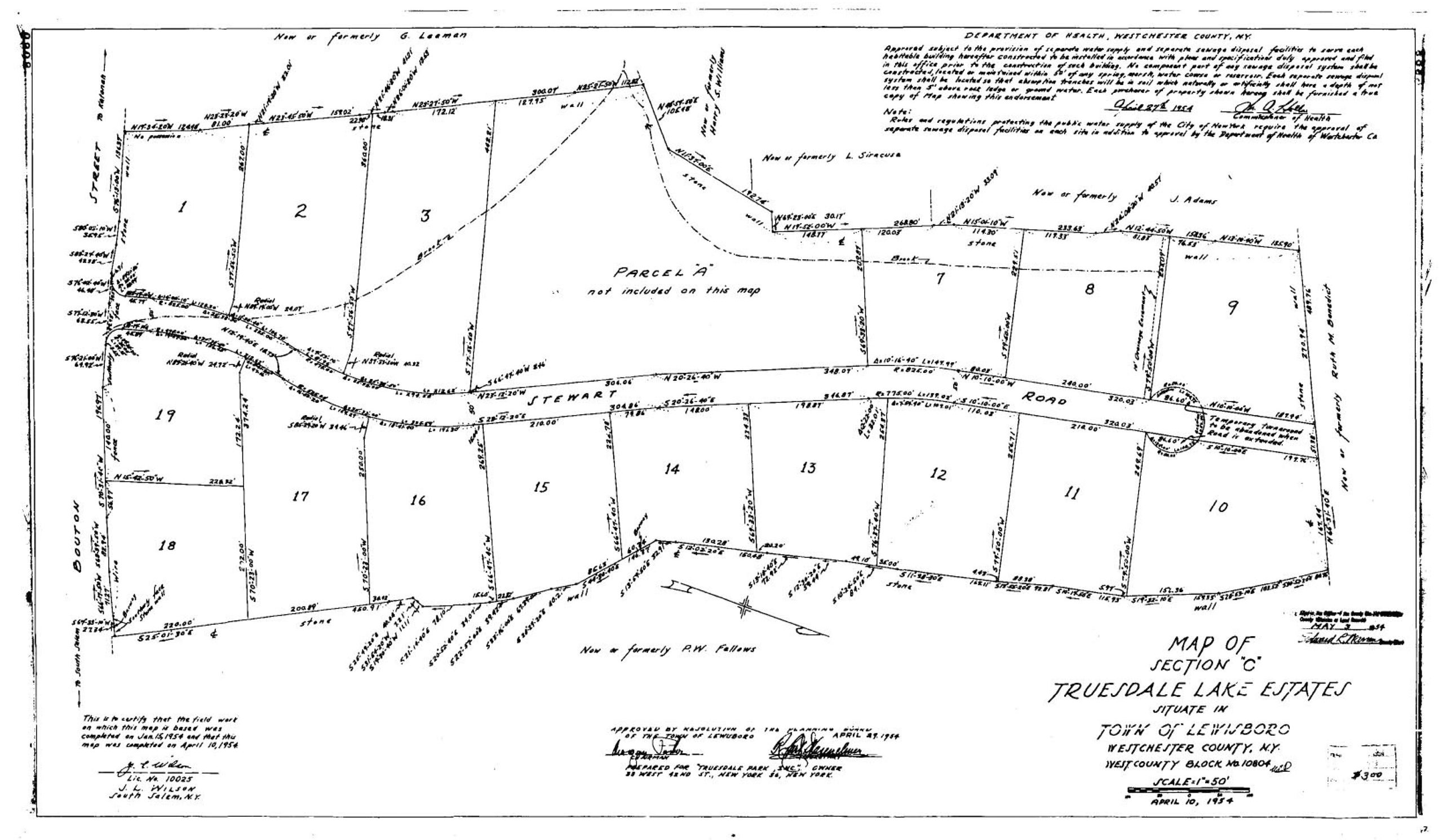
Stewart Road, TEA Section C
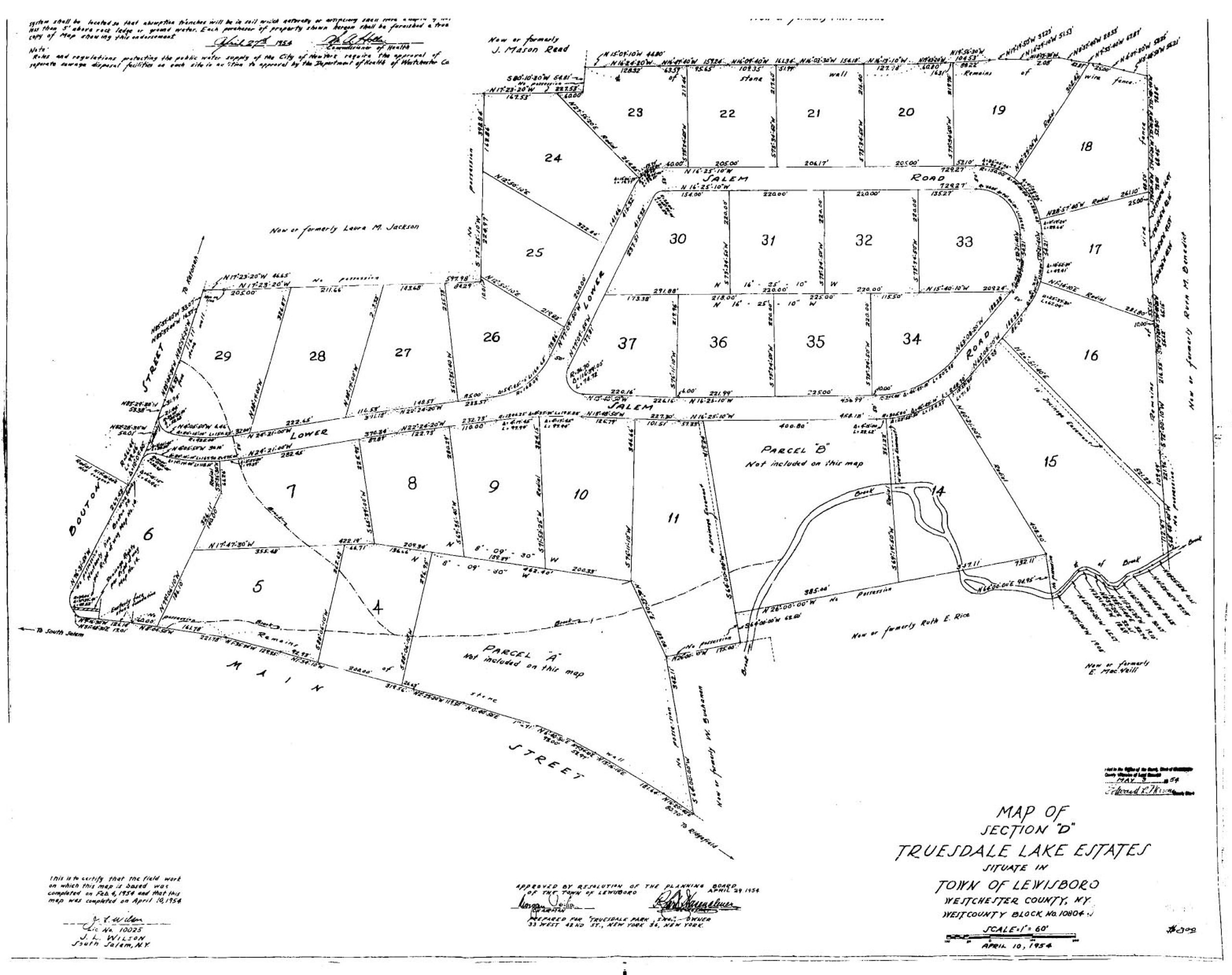
Lower Salem Road, TEA Section D
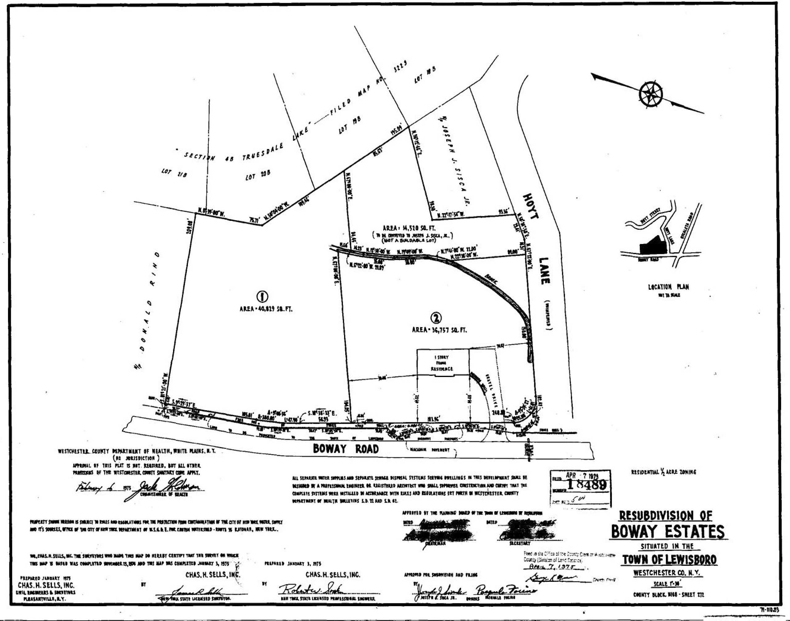
Boway, TEA Section E

Document – Transcript of Lewisboro Planning Board meeting with property owner/developer and surveyor describing combining map sections A&B into one map.
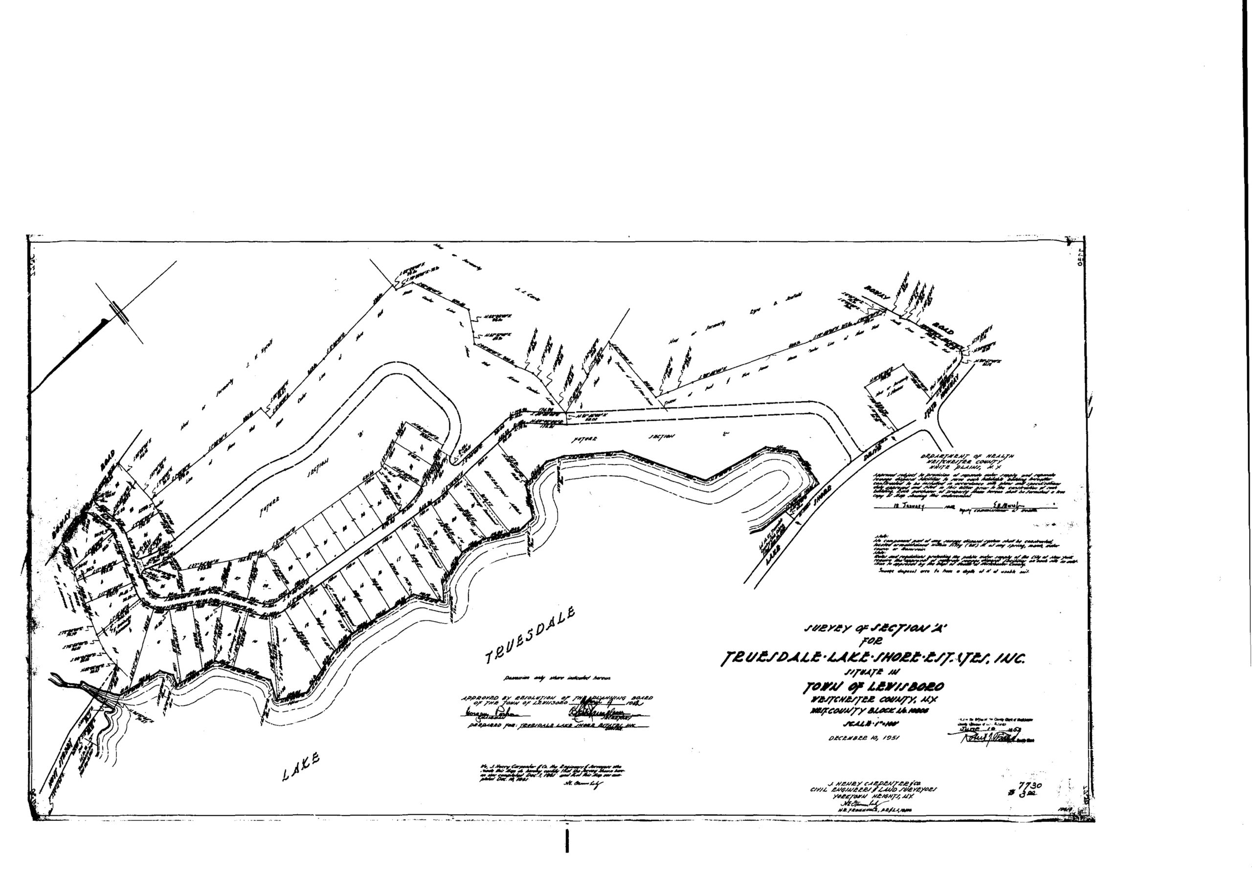
1951 Original TEA “Section A” later combined (per 1953 minutes above) with “Section B” (shown here mostly blank) into a revised “Section A” including both original A & B sections. Combined Section A is available above as 1953 map.
Combined map of Sections A, B (Truesdale Lake Dr, Salem Lane), Section C (Stewart Rd), Section D (Lower Salem Rd), and Section E (Boway) of Truesdale Estates Association.
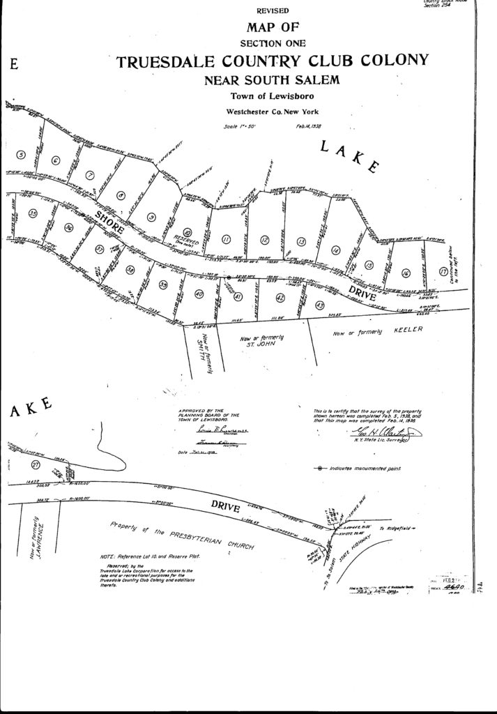
Image: Map 4640 (from 1938) showing section of Lake Shore Drive from Spring Street north.

Other local filed county maps from the Truesdale Lake area.