Our lake management company, The Pond & Lake Connection (thepondconnection.com) will treat the lake for algae as needed on Thursday July 21st.
Weather and water temperature permitting, the lake will be treated with and there is a 24hr restriction for irrigation if you use lake water on your plants or lawn. No other usage restriction. It is okay to swim and it is okay to irrigate by Friday night.
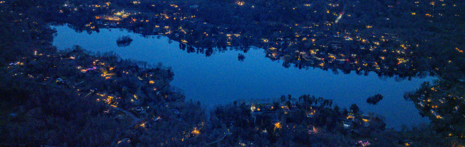
Get yourself and your boat(s) ready. Bring the kids. Bring the lights!
Meet out in the center of the lake starting between 8:15-8:30pm. Sunset tonight is 8:28pm and “last light” is 9:01pm. The moon will be high in the sky before then since it is not quite full (but still pretty bright!).
Dear Truesdale Sunfish Sailors and Aspiring Sailors,
Truesdale Lake Sunfish race buoys are out — and the course is ready to go. All we need are sailors!
The typical Truesdale Sunfish Fleet #27 season consists of a 10-week series over the summer and a special one-time race “The President’s Cup” on Labor Day Monday (weather permitting).
We run two races every Sunday starting at 1:30pm from the start of summer through Labor day (Sunday, Jul 3 – Sunday, Sept 4, 2022).
“Preseason” practices were in June to give everyone a chance for a shakedown cruise.
We score the two races and add up only the best 10 races for each sailor, dropping their lowest point races. This means you don’t need to race every week to be competitive, and if you improve during the season your early scores don’t count.
These races are strictly for local fun and challenge — very low pressure. We don’t report results anywhere but here. Beginners and kids welcome and encouraged — and they usually pick it up pretty quickly.
The races starting line is off the dock of 43 Truesdale Lake Drive which is just north of the southernmost island on the lake (aka “Pirate Island”). Look for the pair of blue and white buoys that make the start line. And check the sailing race buoy chart at the bottom of this post.
The Truesdale Sunfish Fleet #27 is one of the oldest in the world. The Sunfish was designed and developed by Alcort, Inc. not far from here in Waterbury, CT.
Truesdale Lake was one of the early lakes that the Sunfish design was tested on before going into production in the mid-1950s. The fleet numbers are sequentially handed out, so #27 is a very old fleet number designation. Current fleet numbers for new sunfish fleets are in the 800+ range now.
To ensure the lake is in great shape for the upcoming holiday weekend, our lake management company, The Pond & Lake Connection (thepondconnection.com) will treat the lake for weeds and algae as needed on Tuesday June 28th.
Weather permitting, the lake will be treated with Nautique (https://sepro.com/aquatics/nautique) and there is a 24hr restriction for irrigation if you use lake water on your plants or lawn. No other usage restriction. It is okay to swim and it is okay to irrigate by Wednesday night.
We had well over 25 boats out on the lake lighting up the night under the nearly full moon Saturday, June 11th on Truesdale Lake. (The June full moon is nicknamed the “Strawberry Moon” which fit the strawberry shortcake cupcakes served mid-lake!)
Thanks to Lisa Capobianco for organizing and setting up the summer kickoff BBQ at the TEA beach on Truesdale Lake Drive. Many new faces joined in with old-timers at this annual party.
The weather was great and the clouds parted in time for the moon to show up and boaters and floaters to shove off from the launch.
Check out the photos below to get a flavor of what it was like.
Next nearly full moon on a weekend is Saturday, July 9th (the July full moon is Wednesday, July 13th, the “Buck Moon”). Weather permitting we can do a 2022 encore!
2022 photos from the Moonlight Regatta
May 26, 2022
by rob Comments Off on Beach Cleanup Thank You
Place: TEA Beach; Date: Saturday, May 21st; Reason: Pre-Opening Clean up Day
Thanks to two dozen volunteers, the TEA’s annual Clean up Day went well and was very a productive event.
In one sunny morning we were able to:
move a 7 yards of sand from the lower parking lot to the beach
rake the new sand and remove weeds/branches from the waterfront
clean out and reorganize the shed
string and install a beautiful brand-new set of buoys and ropes
return the swim raft off shore.
Don’t just take my word for it.  Walk, ride or drive by.  It looks fantastic and is ready from summer fun.
Thank you: Lisa, Bill, Ira & Laura, Kathleen & Matt, Andrea & her son, John & Maria, Peggy, Jane, Susan, Flavio, Bob & Ellen, Elizabeth & Phil, Charlotte & Catherine, Ciorsdan, Rob & Naomi, anyone else we forgot????
If you missed the spring clean-up, there’s always more to do during the summer. If you see something out of place best thing to do is get it done — or ask for help if its a bigger job. There are also plenty of other volunteer opportunities during the summer and beyond! Let us know at tea@truesdalelake.com.
May 24, 2022
by rob Comments Off on Lake Treatment – May 26, 2022
Our lake management company, The Pond & Lake Connection (thepondconnection.com) will treat the lake for weeds and algae as needed on Thursday May 26th.
Weather permitting, the lake will be treated with Nautique (https://sepro.com/aquatics/nautique) and there is a 24hr restriction for irrigation if you use lake water on your plants or lawn. No other usage restriction. It is okay to swim and it is okay to irrigate by Friday night.
TEA typically opens the summer with an open invite to lake residents & guests to our BBQ at the TEA Beach the second Saturday in June. (June 11, 2022) #weatherpermitting
This year this date corresponds to the first (nearly) full moon of the summer. So we are combining the kickoff and moonlight regatta!
5pm kickoff at TEA beach, we provide the burgers, hot dogs, chicken and soft drinks. You provide the rest. (desserts, salads, alt bev) Arrive by boat, car, bike, or foot – your choice.
At around 8pm we will head out on the moonlit lake. (BYO Truesdale Lake registered boat with a Truesdale Lake Sticker or make arrangements ahead with someone who has one!) Moon will rise over trees on the east side of the lake at around 5:21pm and be up at 80% full by regatta time — lighting up the water.
BYO Light Source(s) to help navigate home.
Lightup decoration on boats encouraged – not too bright! Glow sticks, LEDs, etc. if you have a dock, navigation lights are appreciated! (Not too bright)
June 3, 2022; 9am – 2pm • Sedgewood Club, Kent, NY
8:30 registration & networking CSLAP Training 2-4pm
Meeting set up in partnership with Cornell Cooperative Extension, the New York Federation of Lake Associations (NYSFOLA), Town of Kent, Putnam County Dept of Health, and Putnam County Soil & Water Conservation.
The annual pre-season beach cleanup and beautification at the Truesdale Estates Association beach on Truesdale Lake Drive is set for Saturday, May 21 from 9am-12noon.
Let us know if you can come out!
We will be putting out the swimming dock, stringing new buoys on new swim ropes, raking the sand out, cleaning any winter damage, gardening, and generally making the beach ready for the summer. Depending on availability we may be doing some repairs to the dock on the property.
Even if you can only come for an hour or so it will help out the overall effort! Many hands make light work. Bring rake, shovel, and any other tools you think will be useful.
Please RSVP to Lisa Capobianco at tahoe524@aol.com or tea@truesdalelake.com.