The lake associations commissioned a report on Truesdale Lake in 2001 that was done by Land-Tech Consulting. It has been over 13 years since the report publication and many new residents probably have never seen it.
I have excerpted a map of our lake’s watershed below as well as description of the watershed. The entire report is available here:Â http://truesdalelake.com/downloads/?did=25
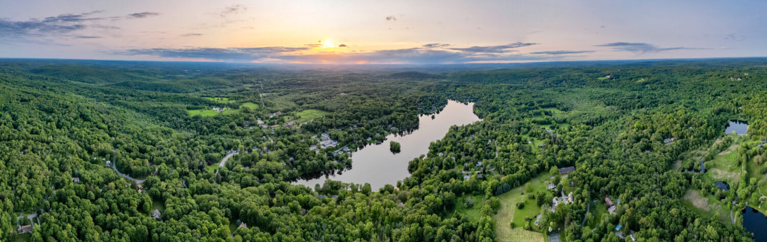
The blue line in the map below represents the extent of our 2000+ acre watershed.

Truesdale Lake Watershed (blue line)
A watershed is a drainage area in which all land and water areas drain or flow toward a central collector, such as the lake. Precipitation falling on the watershed that does not infiltrate into the ground will flow over land to the central collector. The size of the contributing watershed largely determines the amount of water that enters the central collector, in this case, the lake.
This lake lies within the Waccabuc River Drainage Basin, which is a sub-basin of the Croton Regional Basin and the Hudson Major Basin. The portion of this watershed contributing surface runoff to the lake is large (2,380± acres, 963 ha), relative to the size of the lake (83 acres, 33.6 ha) (Figure 1). The majority of this watershed is located to the east of the lake and contains the Pumping Station Swamp. The size of the watershed creates a watershed to lake ratio of 28.7:1. The amount of rainfall draining to the lake was calculated using a runoff value of approximately 55 percent of precipitation (CT DEP 1982), an annual precipitation value of 47.5 inches per year (Soil Survey of Putnam and Westchester Counties, New York, 1994), and 68.6 cm (27 inches) per year of surface lake evaporation. Therefore, the net amount of rainfall that drains to the lake is large, (1.6 billion gallons) annually or an average daily flow of 4 million gallons per day. Thus, on an annual basis, the lake, with a volume of approximately 99,150,000 gallons, shows a moderate turnover rate (hydraulic residence time) of 16.2 times per year or every 22 days.
However, since the perennial watercourse is in the northeast portion of the lake and the discharge is at the northern tip of the lake, it is reasonable to assume that much of the water entering the lake from the perennial watercourse exits the system with little mixing of water in the southern lake basin. Therefore, the actual hydraulic residence time in the southern portion of the lake is expected to be longer than that stated above.
The report has additional information about biology, lake treatment, inflows, and management recommendations. Most of the information is still relevant today.