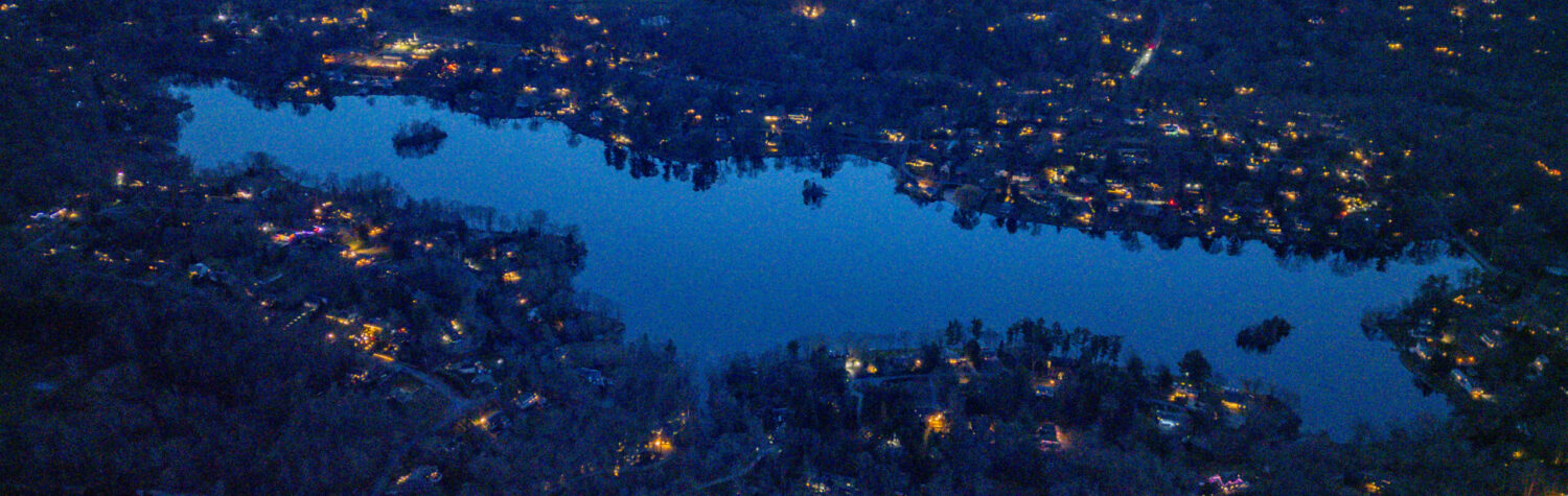
Over Truesdale Lake – from the Westchester County Archives (updated with 1960 and 1986 – thank you Priscilla!)


1986 overhead
Discover more from Truesdale Lake
Subscribe to get the latest posts sent to your email.
March 4, 2026 | 1 Comment
Over Truesdale Lake – from the Westchester County Archives (updated with 1960 and 1986 – thank you Priscilla!)
1986 overhead
Subscribe to get the latest posts sent to your email.
One Comment
Leave a reply →